NSW Roads & Maritime E-Store
Boating Maps
Please click the 'Buy Now' button for the items you wish to purchase. Items selected will immediately populate your cart. To proceed to checkout click the cart icon on the top right of the page. Quantity levels of each item added to the cart can be specified in the Checkout.
Note: A PO Box is not acceptable for a delivery address
Note: Maps can take up to 3 weeks to be delivered


VISA and MasterCard are accepted

Viewing Boating Maps (1 - 7 of 7)
-
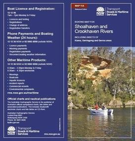
11A - Shoalhaven and Crookhaven Rivers
-
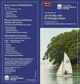
11B - Jervis Bay, Sussex Inlet and St Georges Basin
-
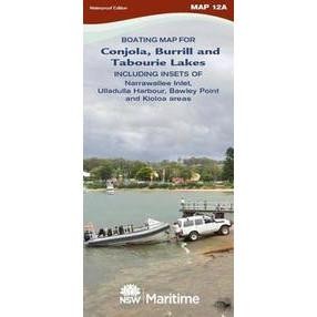
12A - Lake Conjola and Narrawallee Inlet Ulladulla, Burrill and Tabourie Lakes, Bawley Point and Kioloa Areas
-
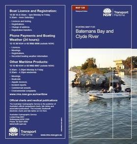
12B - Batemans Bay Area, Clyde and Tomaga Rivers and Durras Lake
-
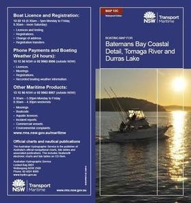
12C - Batemans Bay Coastal area. Inset maps for Tomaga River and Durras Lake
-
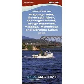
13B - Wagonga Inlet, Montague Island, Bermagui River, Wallaga and Coruma Lakes
-
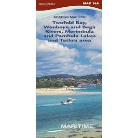
14A - Merimbula, Pambula Lakes and Twofold Bay, Wonboyn River
Boating Maps are a vital tool for negotiating NSW waterways and are printed on waterproof paper for $8.00 each (incl. GST and postage).