NSW Roads & Maritime E-Store
Boating Maps
Please click the 'Buy Now' button for the items you wish to purchase. Items selected will immediately populate your cart. To proceed to checkout click the cart icon on the top right of the page. Quantity levels of each item added to the cart can be specified in the Checkout.
Note: A PO Box is not acceptable for a delivery address
Note: Maps can take up to 3 weeks to be delivered


VISA and MasterCard are accepted

Viewing Boating Maps (1 - 15 of 15)
-
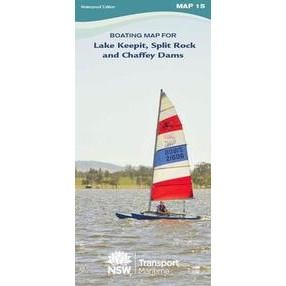
15 - Lake Keepit, Split Rock and Chaffey Dams
-
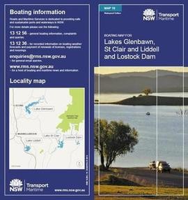
16 - Glenbawn and Lostock Dams and Lake St Clair
-
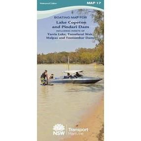
17 - Lake Copeton and Pindari Dam
-
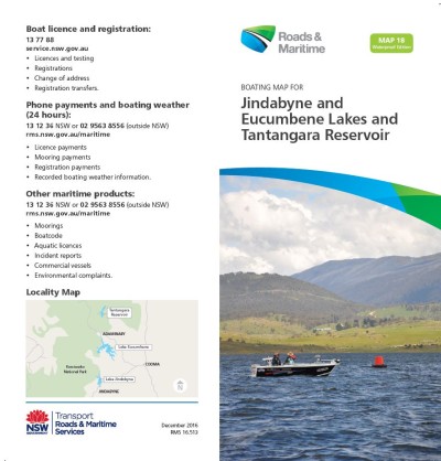
18 - Lake Jindabyne Lake Eucumbene and Tantangara Reservoir
-
19 - Murray River - Moama/ Echuca, Barmah, Picnic Point, Tocumwal and Cobram/ Barooga Areas Lake Mulwala
-
20 - Murray River - Colignan to South Aust Border Lake Mulwala
-
21 - Blowering and Talbingo Dams, Including Insets of Mannus Lake, Tumut Pond, Tooma and Three Mile Dams, Khancoban Pondage and Geehi Reservoir
-
22 - Burrendong Dam. Windamere and Ben Chifley Dams, Lake Lyell and Dunns Swamp
-
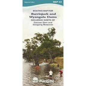
23 - Wyangala and Carcoar Dams. Burrinjuck Dam and Googong Reservoir
-
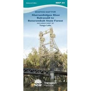
24 - Murrumbidgee River Balranald to Benerembah State Forest including inset of Yanga Lake
-
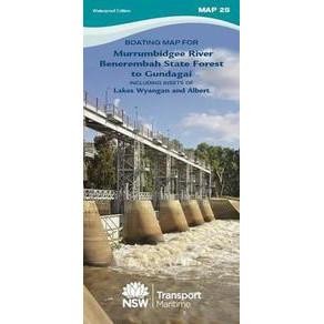
25 - Murrumbidgee River Benerembah State Forest to Gundagai including insets of Lakes Wyangan and Albert
-
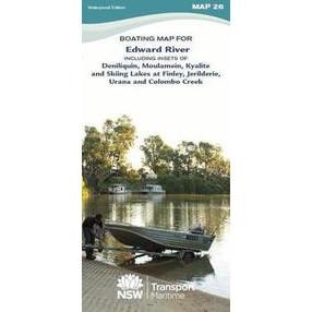
26 - Edward River Deniliquin, Moulamein, Kyalite & Skiing Lakes at Finley
-
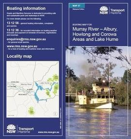
27 - Murray River - Albury, Howlong and Corowa areas and Lake Hume
-
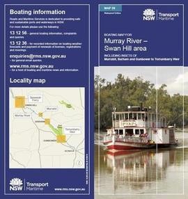
28 - Murray River - Swan Hill, including insets for Murrabit, Barham and Gunbower to Torrumbarry
-
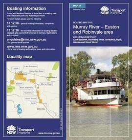
29 - Murray River - Euston, Robinvale, including Insets for Boundary Bend, Tooleybuc, Nyah, Wemen and Wood Wood
Boating Maps are a vital tool for negotiating NSW waterways and are printed on waterproof paper for $8.00 each (incl. GST and postage).