All Products
Please click the 'Buy Now' button for the items you wish to purchase. Items selected will immediately populate your cart. To proceed to checkout click the cart icon on the top right of the page. Quantity levels of each item added to the cart can be specified in the Checkout.
Note: A PO Box is not acceptable for a delivery address
Note: Maps can take up to 3 weeks to be delivered


VISA and MasterCard are accepted

Bulk discount applies
20% discount applies to orders of
10 or more
Boating Maps
20% discount applies to orders of
5 or more
Coastal Maps
Home
Boating Maps
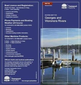
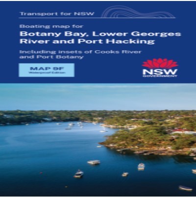
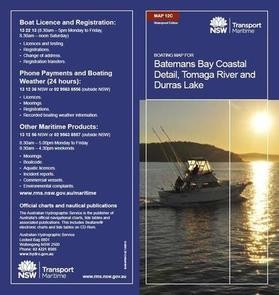
Boating Maps are a vital tool for negotiating NSW waterways and are printed on waterproof paper for $8.00 each (incl. GST and postage).
-
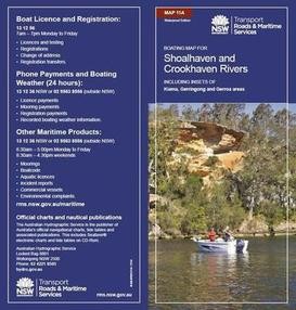
2A - Richmond River and Wilsons River including detail insets Lismore and Casino Richmond River Ballina Area
-
2C - Upper Clarence River including insets for Grafton, Ulmarra and Brushgrove Wooli and Sandon Rivers, Minnie Water and Brooms Head
-
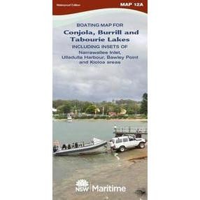
12A - Lake Conjola and Narrawallee Inlet Ulladulla, Burrill and Tabourie Lakes, Bawley Point and Kioloa Areas
-
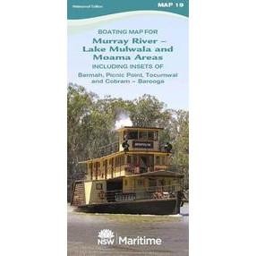
19 - Murray River - Moama/ Echuca, Barmah, Picnic Point, Tocumwal and Cobram/ Barooga Areas Lake Mulwala
-
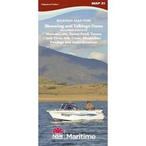
21 - Blowering and Talbingo Dams, Including Insets of Mannus Lake, Tumut Pond, Tooma and Three Mile Dams, Khancoban Pondage and Geehi Reservoir
-
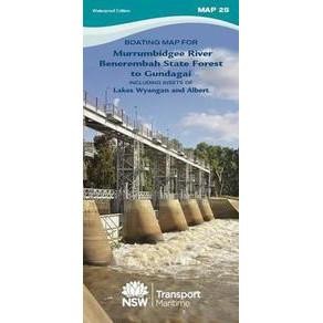
25 - Murrumbidgee River Benerembah State Forest to Gundagai including insets of Lakes Wyangan and Albert
-
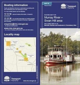
28 - Murray River - Swan Hill, including insets for Murrabit, Barham and Gunbower to Torrumbarry
-
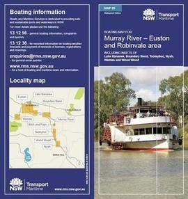
29 - Murray River - Euston, Robinvale, including Insets for Boundary Bend, Tooleybuc, Nyah, Wemen and Wood Wood
Coastal Maps
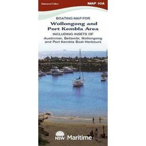
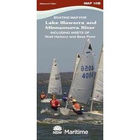
Coastal Maps are a vital tool for negotiating NSW waterways and are printed on waterproof paper for $8.00 each (incl. GST and postage).

