NSW Roads & Maritime E-Store
Boating Maps
Please click the 'Buy Now' button for the items you wish to purchase. Items selected will immediately populate your cart. To proceed to checkout click the cart icon on the top right of the page. Quantity levels of each item added to the cart can be specified in the Checkout.
Note: A PO Box is not acceptable for a delivery address
Note: Maps can take up to 3 weeks to be delivered


VISA and MasterCard are accepted

Bulk discount applies
20% discount applies to orders of
10 or more Boating Maps
Viewing Boating Maps (1 - 47 of 47)
-
2C - Upper Clarence River including insets for Grafton, Ulmarra and Brushgrove Wooli and Sandon Rivers, Minnie Water and Brooms Head
-
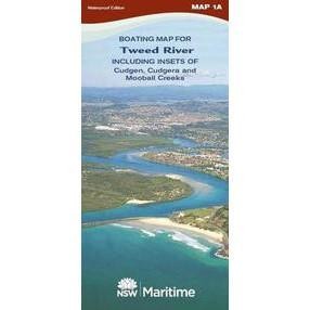
1A - Tweed River, Cudgen, Cudgera and Mooball Creeks Map
-
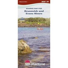
1B - Brunswick and Evans Rivers
-
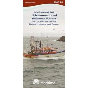
2A - Richmond River and Wilsons River including detail insets Lismore and Casino Richmond River Ballina Area
-
2B - Lower Clarence River, Lawrence and Maclean insets Clarence River, Yamba and Iluka
-
3A - Coffs Harbour Area and Bellinger, Kalang Rivers
-
4A - Nambucca River, Warrell and Deep Creeks
-
4B - Macleay River, Crescent and Hat Heads
-
5A - Hastings, Wilson, Maria and Camden Haven Rivers
-
6A - Manning River Area, Khappinghat Creek and Crowdy Head Boat Harbour
-
6B - Wallis Lake, Smiths Lake, Coolongolook, Wallingat and Wallamba Rivers
-
7A - Port Stephens
-
7B - Myall River and Lakes
-
7C - Newcastle Harbour, Hunter and Williams Rivers
-
8A - Lake Macquarie
-
8B - Tuggerah, Budgewoi, Munmorah Lakes and Brisbane Water
-
9A - Pittwater and Cowan Creek
-
9B - Mid to Lower Hawkesbury River, Berowra, Mooney Mooney and Mangrove CreeksB
-
9C - Upper Hawkesbury River and Nepean River
-
9D - Port Jackson and Middle Harbour
-
9E - Georges River and Woronora River
-
9F - Botany Bay, Lower Georges, Cooks River and Port Hacking
-
9G - Parramatta and Lane Cove Rivers
-
10A - Wollongong and Port Kembla Area
-
10B - Lake Illawarra and Minnamurra River Area
-
11A - Shoalhaven and Crookhaven Rivers
-
11B - Jervis Bay, Sussex Inlet and St Georges Basin
-
12A - Lake Conjola and Narrawallee Inlet Ulladulla, Burrill and Tabourie Lakes, Bawley Point and Kioloa Areas
-
12B - Batemans Bay Area, Clyde and Tomaga Rivers and Durras Lake
-
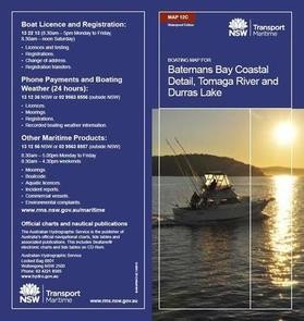
12C - Batemans Bay Coastal area. Inset maps for Tomaga River and Durras Lake
-
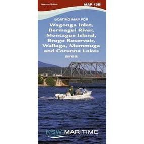
13B - Wagonga Inlet, Montague Island, Bermagui River, Wallaga and Coruma Lakes
-
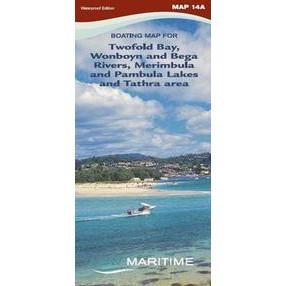
14A - Merimbula, Pambula Lakes and Twofold Bay, Wonboyn River
-
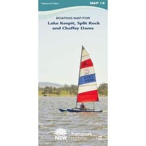
15 - Lake Keepit, Split Rock and Chaffey Dams
-
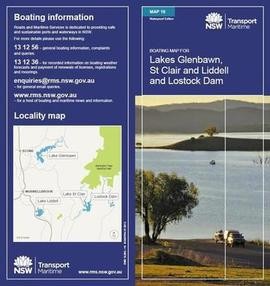
16 - Glenbawn and Lostock Dams and Lake St Clair
-
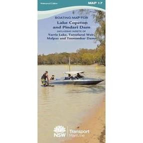
17 - Lake Copeton and Pindari Dam
-
18 - Lake Jindabyne Lake Eucumbene and Tantangara Reservoir
-
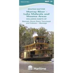
19 - Murray River - Moama/ Echuca, Barmah, Picnic Point, Tocumwal and Cobram/ Barooga Areas Lake Mulwala
-
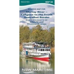
20 - Murray River - Colignan to South Aust Border Lake Mulwala
-
21 - Blowering and Talbingo Dams, Including Insets of Mannus Lake, Tumut Pond, Tooma and Three Mile Dams, Khancoban Pondage and Geehi Reservoir
-
22 - Burrendong Dam. Windamere and Ben Chifley Dams, Lake Lyell and Dunns Swamp
-
23 - Wyangala and Carcoar Dams. Burrinjuck Dam and Googong Reservoir
-
24 - Murrumbidgee River Balranald to Benerembah State Forest including inset of Yanga Lake
-
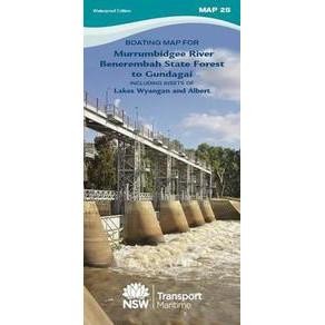
25 - Murrumbidgee River Benerembah State Forest to Gundagai including insets of Lakes Wyangan and Albert
-
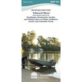
26 - Edward River Deniliquin, Moulamein, Kyalite & Skiing Lakes at Finley
-
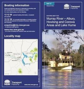
27 - Murray River - Albury, Howlong and Corowa areas and Lake Hume
-
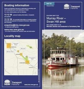
28 - Murray River - Swan Hill, including insets for Murrabit, Barham and Gunbower to Torrumbarry
-
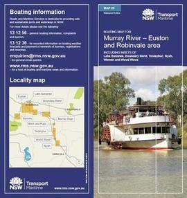
29 - Murray River - Euston, Robinvale, including Insets for Boundary Bend, Tooleybuc, Nyah, Wemen and Wood Wood
Boating Maps are a vital tool for negotiating NSW waterways and are printed on waterproof paper for $8.00 each (incl. GST and postage).


