NSW Roads & Maritime E-Store
Boating Maps
Please click the 'Buy Now' button for the items you wish to purchase. Items selected will immediately populate your cart. To proceed to checkout click the cart icon on the top right of the page. Quantity levels of each item added to the cart can be specified in the Checkout.
Note: A PO Box is not acceptable for a delivery address
Note: Maps can take up to 3 weeks to be delivered


VISA and MasterCard are accepted

Viewing Boating Maps (1 - 7 of 7)
-
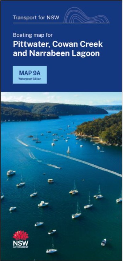
9A - Pittwater and Cowan Creek
-
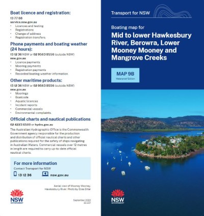
9B - Mid to Lower Hawkesbury River, Berowra, Mooney Mooney and Mangrove CreeksB
-
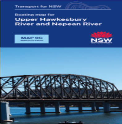
9C - Upper Hawkesbury River and Nepean River
-
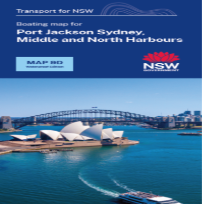
9D - Port Jackson and Middle Harbour
-
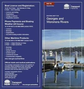
9E - Georges River and Woronora River
-
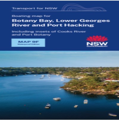
9F - Botany Bay, Lower Georges, Cooks River and Port Hacking
-
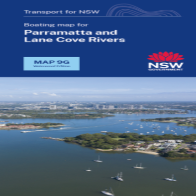
9G - Parramatta and Lane Cove Rivers
Boating Maps are a vital tool for negotiating NSW waterways and are printed on waterproof paper for $8.00 each (incl. GST and postage).